
Engineering
The Engineering Division manages more than 2.4 million acres of DNR forest lands for public school construction, other trust beneficiaries and the recreating public. To accomplish these goals, it takes:
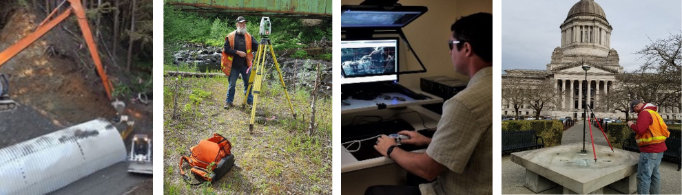
- Land Surveyors to establish property boundaries;
- Engineers to design road projects;
- Heavy Equipment Operators to maintain forest roads;
- Right of Way Specialists to grant and acquire easements;
- Title Officers to identify, research, examine and interpret official documents and records;
- Photogrammetrists to work with aerial imagery.
The Engineering Division works to keep roads open, lands surveyed and recorded, as well as to grant and acquire legal access to public lands, so that our colleagues can sustain our lands and waters.
On the pages below you will find information about the Public Land Survey Office, electronic maps of state lands, summer intern opportunities and how to do business with each program within Engineering.
Title and Records Office
We curate ownership and management documents on 5.4 million acres of uplands and aquatic lands. This includes tracking ownership, land transactions, easements, geoduck leases, harbor areas, timber sales, agricultural leases, clean energy leases, Natural Resources Conservation Areas and much more. By scanning, digitizing, indexing, and storing electronic documents, these resources are available for the wide diversity of programs within DNR. On a daily basis, we provide title examinations and record management documents.
Rights-of-Way
When someone wants to cross another landowner's property, they must obtain a ‘right-of-way’ from that landowner. This requirement also applies to lands owned by the state and managed by DNR. Most of the rights-of-way that DNR grants to cross state-owned lands are in the form of permits or easements for roads, utilities, and other uses that benefit the public in some way. Learn more about rights-of-way across state lands here.
Forest Roads
With Engineers and Heavy Equipment operators spread across the state, we are dedicated to maintaining DNR’s forest roads for the removal of forest products, forest management activities, and recreation while reducing the impact roads have on our environment. We regularly inspect, maintain, and replace our fish passage culverts, bridges, and roads to ensure our infrastructure provides safe passage for both vehicles and fish. If you are interested in an engineering career that protects our state’s natural resources, then DNR may have a job for you.
State Lands Survey Unit
The State Lands Survey Unit provides survey support for the management of State Lands. We provide professional and functional oversight to five field survey crews and five office staff. We monument state land boundaries; provide boundary and ownership information to the Agency; provide legal description support and review for all state land transactions; maintain the GIS cadastre layer for the agency; provide review and approval for lease plats of state lands; and provide land survey support for state aquatic lands.
Public Land Survey Office
The Public Lands Survey Office provides a permanent repository system on land boundary and monument information, pursuant to RCW 58.24 and RCW 58.09, and administers the Survey Advisory Board for the State of Washington. We do this by collecting, preserving, and indexing land survey records and issuing permits for removing survey monuments.
Photogrammetry
Every two to three years we provide the DNR with the latest orthographically corrected aerial images across Washington State. Many programs within DNR use these images. Some of the larger uses of aerial imagery determine vegetation heights, which are used in forest inventory work and in vegetation change detection analysis. We scan and index historical film to create a digital format that provides a looking glass into historical land uses. Buy Maps or Survey Data.
