
See the forests without the trees
DNR has released a new lidar database to give Washington communities the best available information on geologic hazards.
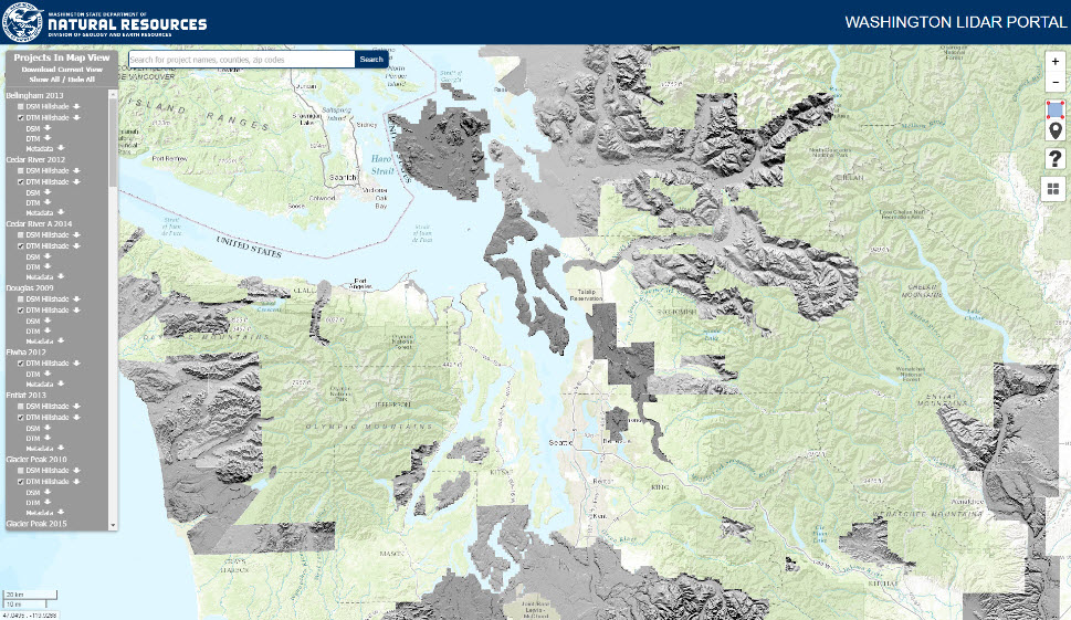
One-third of the Washington Lidar Portal data slated for inclusion is currently available in this beta version. By the end of March, the remaining two-thirds of lidar data that covers much of the populated areas of the state will be available to developers, land use planners, emergency management officials, engineers and scientists across Washington.
“This portal puts comprehensive lidar data at the fingertips of scientists and others interested in geology,” said State Geologist Dave Norman. “As this database continues to grow, it will become increasingly important to understanding the state’s complex geology and its impacts for all who live in Washington.”
Lidar (Light Detection and Ranging) uses lasers mounted on aircraft to scope topography by measuring reflected light. Those beams of light infiltrate the forest canopy, ground cover and human development to allow mappers and scientists to see the topography of landforms below with pinpoint accuracy.
The portal is a collection of lidar from DNR’s inventory, projects from the Puget Sound Lidar Consortium as well as data donated from counties and cities.
The Washington Lidar Portal is designed to allow for easy access and download of publically available lidar data.
To view the portal, visit: lidarportal.dnr.wa.gov. For more about lidar, visit www.dnr.wa.gov/lidar
